Blog - For The Record — NYC Department of Records & Information Services

Richard Nixon’s 1968 Halloween Rally at Madison Square Garden 

Historical photographs and movies have the unique ability to transport viewers to a time and place of a bygone era. The significance of the Municipal Archives’ photograph and moving image collections, often cited in justifying the resources needed to digitize visual materials, is that their value is not just in what they intend to depict, but also all the ancillary information—the clothes people wore, street signs, storefronts, etc.—in the image.  This week, AV Archivist Chris Nicols has selected two videos from the New York Police Department surveillance film collection to take us back to Halloween, 1968.

On October 31st, 1968, Richard Nixon held a campaign rally in Madison Square Garden. One week later, Nixon would win the Presidential election with 44% of the popular vote, running on themes of ‘law and order’ and ‘peace at home, peace abroad.’  The NYPD’s Bureau of Special Services and Investigations (BOSSI) conducted covert surveillance of the rally, both inside and outside the Garden as the events of that year surely made them (and most Americans) worried about potential violence around political figures and events. While NYPD’s BOSSI usually conducted surveillance on what they considered potentially dangerous activist groups, they also worked to ensure the safety of domestic politicians in the City and international figures visiting the United Nations. 

The 1968 Presidential election occurred during one of the most turbulent periods in American history. Over the course of that election year, sitting President Lyndon Baines Johnson declined to run for re-election, Democratic candidate Robert Kennedy was assassinated, segregationist George Wallace’s American Independent Party rose in popularity and protests occurred at both the Democratic National Convention in Chicago and the Republican Convention in Miami. Other dramatic events that year –the assassination of Martin Luther King Jr., the Tet Offensive in the Vietnam War and student protests at colleges across the United States—rocked American society.

Inside the rally, NYPD officers dressed in plain clothes embed with Young Republican Clubs as they cheer Nixon coming on stage.

Inside the Garden, NYPD officers placed themselves among a crowd of Young Republican organizations, dressed in civilian clothing to avoid detection. Through their lens, the scene looked similar to political rallies today- minus the giant screens. Musicians and singers entertained the crowd before various Republican politicians took the lectern to speak about the gravity of the election and extoll the virtues of the candidate. Based on transcripts from the event, Nixon spoke of the need to end the Vietnam War through negotiation and referenced his role as Vice President under President Dwight D. Eisenhower in ending the Korean War. When speaking of ongoing peace talks in Paris, Nixon said: 

“...let us make sure that we do not overlook the necessity for a new foreign policy to see to it that America is not involved in another Viet Nam and that is why we need preventive diplomacy in the world today. So, we have offered a foreign policy for America in which we will look all over this great world and diffuse those trouble-spots which presently are ready to explode... " 

Nixon also linked ‘peace abroad’ with ‘peace at home,’ citing statistics on how afraid Americans were of going out at night, the impact of inflation on the social fabric of the country, rising unemployment and fears of moral degradation stemming from the failures of the Vietnam War. Indeed, the country as a whole and large cities like New York were experiencing devastating increases in crime and poverty. Saying that America was not ‘a nation of haters,’ Nixon promised that he would “Bring the country together again.” While inflation and unemployment fell slightly in his first term, Nixon left office with both statistics shooting up higher than before, marking the beginning of a long period of stagflation. The issues plaguing New York and other American urban centers that Nixon promised to resolve would only worsen throughout the 1970’s. 

Outside Richard Nixon's 1968 Halloween rally at Madison Square Garden, demonstrators show their opposition to his foreign policy.

Outside the event, a picket line of protesters voiced their opposition to Nixon, accusing him of being pro-war and linking him to his opponents, former Alabama Governor George Wallace and Democratic Vice President Hubert Humphrey. Wallace favored an outright military victory in Vietnam, believing that it was possible to achieve in his first 100 days. Meanwhile, Humphrey opposed changes to Democratic party policy that would have called for an immediate end to bombings, a slow withdrawal of troops and the creation of a government that included both North and South Vietnamese leaders. While the Vietnam War was becoming increasingly unpopular among Democratic voters, it was still the policy Humphrey’s boss, President Johnson, firmly supported. The majority of New Yorkers voted for Humphrey.

The 1968 Tet Offensive by North Vietnam had soured public opinion on the progress of the War, convincing many that military leaders had mislead the American people. Nixon campaigned on “peace with honor” and ending the war through a process called ‘Vietnamization’ (like ‘Afghanization’) where the fighting would largely be done by American trained South Vietnamese soldiers backed by American air support. Ultimately, Nixon’s Vietnamization expanded the war into neighboring Cambodia and Laos, the overall conflict continuing into his second term. Nixon would resigned in disgrace before the end of America’s second longest war in 1975. The total number of dead is estimated to be between 1.5 and 3.5 million people, mostly Vietnamese civilians. In the years after the war, thousands of surviving Vietnamese refugees found homes in the New York City metropolitan area. 

The recently digitized footage featured in this blog once again illustrates the broad range of subjects that can be researched in Municipal Archives collections. With films on Civil Rights, original Central Park drawings and hundreds of hours of 20th century radio broadcasts, the Municipal Archives has millions of records available for free online. Take a few minutes to revisit October 31st, 1968 in New York City and Happy Halloween 2021! 
Gathering Government Information From Cities Before the Internet

These days, people use Google to find almost anything online. But, before there were search engines or personal computers, people relied on hard copy books and records.  A recent scrapbook documenting an information exchange that began in 1960 illustrates how local governments shared information.  

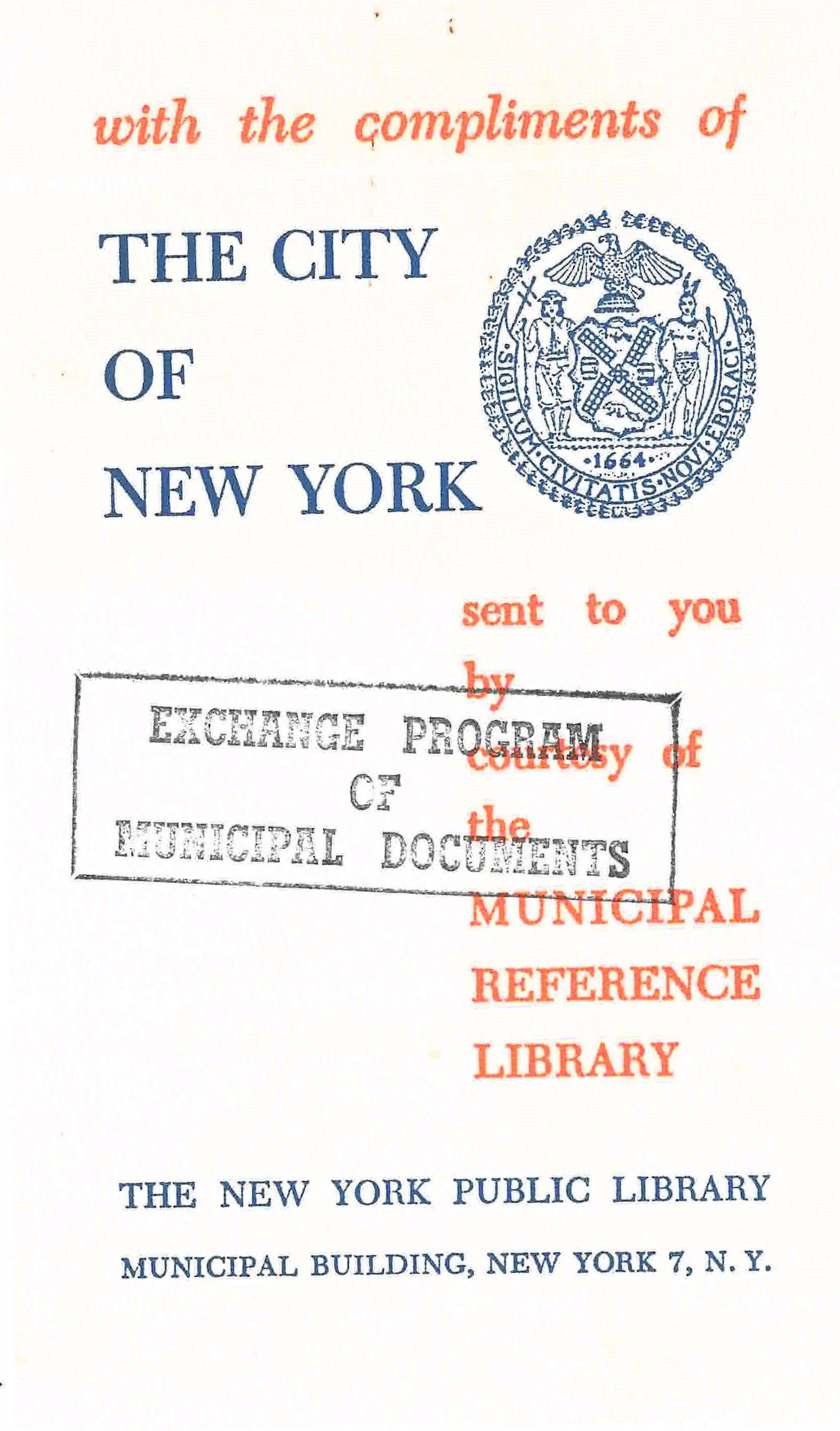
Municipal Document Exchange Program, “Calling Card,” Municipal Reference Library, 1961. NYC Municipal Library.

The New York City Municipal Library opened in 1913, with a goal of providing up-to-date information about policy developments to City officials in order to reform government. This was during the Progressive Era where the notion of using data and comparative studies to guide decision-making emerged as a field. Specialty libraries with similar goals such as the Department of Health Library were also formed at that time.

In 1961, Municipal Librarian Eugene Bockman took up the effort to exchange information with other cities. Bockman served as the head of the City’s Municipal Library from1958 to 1977, following in the footsteps of the remarkable Rebecca Rankin who presided over the collections from 1920 to 1952.  

Monmouth County, New Jersey, Municipal Government Information Center, pamphlet, 1976. NYC Municipal Library.

The initiative resulted from a June 1960 meeting of the Special Libraries Association where the members recommended an exchange of reports, studies and statistics.  What better institution to take this on than the City’s Municipal Library.  

Municipal Document Exchange Program, “Calling Card,” Chicago Public Library, 1961. NYC Municipal Library.

Initially, fifteen cities participated in the exchange: Baltimore, Chicago, Cincinnati, Cleveland, Detroit, Honolulu, Los Angeles, Milwaukee, New York City, Philadelphia, Sacramento, St. Louis, San Diego, Seattle and Toledo. It was a one-year experiment to “provide civic groups and public officials with a comprehensive collection of local governmental documents and information.”  Some of the participating institutions just joined up. Others, such as Milwaukee’s Municipal Library, required legislative authorization from their Common Council.   

The resolution passed by that body noted that the State of Wisconsin already participated in a similar exchange and stated that the program would allow the library “to add quickly …those items for which it would otherwise have to spend much time in discovering, ordering, and in follow-up correspondence.”  Further, the resolution instructed every city department to print 25 additional copies of reports to be circulated in the exchange.  

Municipal Document Exchange Program, “Calling Card,” Reference Library of Cincinnati, 1961. NYC Municipal Library.

By 1961, the participants had expanded to 42, according to the Cincinnati Progress which reported that the exchange offered many advantages including: saving of time as much ordering is eliminated; saving of money as postage and priced documents are included; and prompt receipt of reports and complete coverage are ensured. This means economy in operation and more complete service.”

Each exchanged report came with a little “calling card” stating the item was sent with the compliments of the relevant city. Some are plain; some more elaborate.    

Municipal Document Exchange Program, “Calling Card,” City of Adelaide, Australia, 1961. NYC Municipal Library.

Municipal Document Exchange Program, “Calling Card,” Auckland, Australia, 1961. NYC Municipal Library.

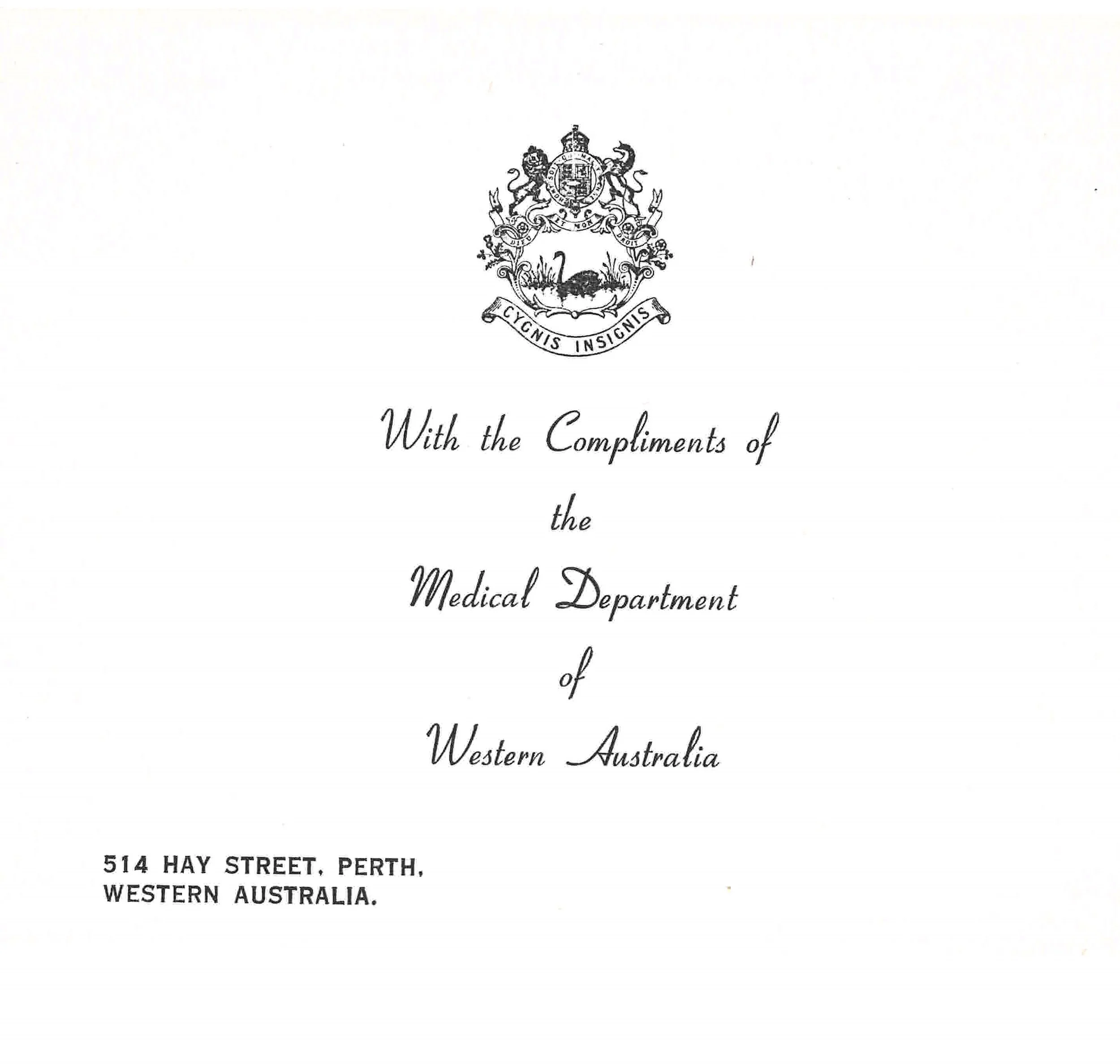
Municipal Document Exchange Program, “Calling Card,” Perth, Western Australia, 1961. NYC Municipal Library.

Eventually, the program expanded further afield and included Australian cities as cards from Adelaide, Auckland and Perth attest.   

The effort continued, at least through 1976, as evidenced by newsletters and calling cards submitted. Much content in the July, 1976 newsletter forwarded by the Miami-Dade County Library could have been written today. These newsletters typically summarized newly issued publications to update patrons on available content. The newsletter listed two articles on solar energy, prefacing the information with, “In Florida we know that solar energy isn’t really new…”

Municipal Document Exchange Program, “Calling Card,” Honolulu Municipal Reference Library, 1961. NYC Municipal Library.

Municipal Document Exchange Program, “Calling Card,” Municipal Information Library, Minneapolis Public Library and Information Center, 1961. NYC Municipal Library.

Municipal Document Exchange Program, “Calling Card,” Municipal Information Library, Minneapolis Public Library and Information Center, 1961. NYC Municipal Library.

Ironically, now that institutions including the Municipal Library post many collections online and the library catalog on WorldCat, the librarians undertook a sweeping review of holdings in 0000. They then offered municipal libraries around the country many of the documents received via the exchange. Many accepted the offer, having lost track of these publications in the intervening decades.

The New York City Hall of Records

Surrogate’s Court, 31 Chambers Street, Manhattan, February 8, 1938. Department of Bridges, Plant & Structures Photograph Collection. NYC Municipal Archives

On October 12, 2021, Municipal Archives digitization specialist Matt Minor presented an illustrated history of the Surrogate’s Court for DORIS’ “Lunch and Learn” program. As he reminded the audience, the original name of the building was the Hall of Records. It was the first purpose-built records hall for the City. The following is a condensed version of his talk.

Prior to its construction, the City stored its records in a colonial-era building near City Hall, which had served as a prison during the Revolutionary War. At the end of the 19th century, New Yorkers began to think that perhaps it wasn’t the best idea to store the City’s paper records in a wood and stucco building and light it with gas lamps. They urged the construction of a fireproof building to replace it. However, it was a back burner project, with other needs taking greater priority.   

The old Hall of Records, demolished 1903. Municipal Archives Photograph Collection. NYC Municipal Archives.

In particular, City Hall was crumbling. Its original marble façade did not weather well outdoors in the New York climate. By the late 1890s, the City had resolved to tear the building down and build a new one, so they opened up a competition, allowing architects to submit designs for a new City Hall.

John Rochester Thomas won the competition. Born in Rochester, N.Y. in 1848, Thomas began studying architecture as a teenager, and started his professional career at the age of 20. When he submitted his designs for a new City Hall, he was already well-established. He was known for grand buildings in classical styles, while using modern engineering techniques to allow for large, open interiors. 

Another excellent example of Thomas’s work is the Second Reformed Church, now Ephesus Seventh Day Adventist Church in Harlem. 1940 Tax Photograph. NYC Municipal Archives.

For the new City Hall, Thomas chose a French Second Empire/Beaux Arts style of architecture. Some hallmarks of this style are a floor plan based on squares and right angles, a steeply pitched roof that is flat on top, channeled rustication, rich decoration, and lots of doors and passages connecting adjacent rooms. At the time, this style was favored for a reason. New York was not seen as the major cultural center it is today. The general attitude was that if you wanted culture, you needed to go to Paris or other European cities. Many New Yorkers wanted to change that.  Grand, monumental architecture was one way to raise the cultural profile of the City, and campaigns like the City Beautiful movement pushed for the construction of impressive buildings. 

Before the new City Hall could be built, though, the State Legislature passed a law protecting the old City Hall as a historic building. (Ultimately, the City Hall façade would be redone in limestone in the 1950s.)  But the City truly loved Thomas’s design, and since it called for a building made almost entirely out of stone, it was ideal for a new Hall of Records. Thomas adjusted the design accordingly.

Construction began in 1899 and was not complete until 1911. The exterior was made of Hallowell granite from Maine. The interior used various types of marble: Siena from Italy, Bleu Belge from Belgium, Tennessee pink, red Numidian from Africa, and white marble from other sources. For the courtrooms that had been added to the building, English oak and Dominican mahogany were imported. Custom furniture, fireplaces, and bronze light fixtures were made by Remington & Sherman. 

The firehouse at 49 Beekman Street is a good example of Horgan & Slattery’s work. 1940 Tax Photograph. NYC Municipal Archives.

Originally estimated to cost about $4.5 million, the building ended up costing the city nearly $7 million, which would be around $200 million today. The expense made the project controversial. At the outset of his term, Mayor Robert Van Wyck set his sights on cutting construction budgets, and the 31 Chambers Street project was a prime target. Saying, “we don’t want an opera house made out of what is intended to be an office building,” Van Wyck brought in an outside architecture firm to review the plans and suggest cuts. 

Arthur J. Horgan and Vincent J. Slattery were known for small-scale projects like firehouses and townhouses. At the mayor’s urging, they reviewed Thomas’s plans and recommended huge cuts. Large and built of expensive Siena marble, the grand staircase in the rotunda was a particular target of criticism, and Horgan & Slattery recommended replacing it with metal stairs.  However, while Thomas did make some changes, he successfully defended his design, and the cornerstone was laid in 1901. Later that year, though, tragedy struck when John Thomas suddenly died at the age of 53. Seizing the opportunity, Mayor Van Wyck appointed Horgan & Slattery as architects of the building. What Van Wyck didn’t expect was that Horgan & Slattery would follow Thomas’s vision, not their own previous recommendations. Not known for large-scale projects, they were eager to put their name on 31 Chambers Street. When new mayor Seth Low came into office, Horgan & Slattery chose not only to adhere to Thomas’s plan, but in fact decided to add more elaborate artwork than he had intended. But the building would face more obstacles. 

Due to their association with Tammany Hall, Horgan & Slattery were hugely unpopular in the press. They also ran afoul of the Art Commission. This newly formed City agency set about rejecting nearly every art proposal H&S presented. Sculptures by Henry Kirke Bush-Brown, Philip Martiny, and Albert Weinert were rejected and re-submitted multiple times before acceptance.  Irritated, Horgan & Slattery harshly criticized the Art Commission in the press, claiming the Commission had unknowingly rejected works by the old masters submitted as a test. The next day, the architects sent an apologetic letter denying having made the comments. A smear campaign was clearly not the way to go. In 1903, they decided to bring in a ringer, someone the Art Commission wouldn’t—perhaps couldn’t—reject. 

William De Leftwich Dodge was a muralist and mosaicist. Though American-born, he had studied in Paris at the École des Beaux Arts and the Académie Colarossi. His work bridged the gap between classic and modern, and his French education made him high-profile among American artists. While the other artists had submitted and resubmitted their work, writing letters explaining their intent, Dodge submitted just one set of sketches. In his application form, he described the work he intended to create as a “marble mosaic, with the introduction of a small portion of glass mosaic, where brilliancy is necessary.” The commission approved it immediately. [Mr. Minor’s blog Hall-of-records-Where-Brilliancy-is-Necessary provides more information about the mosaics.] 

Capricorn and Sagittarius separated by a Greco-Egyptian figure, from William De Leftwich Dodge’s massive mosaic. Photograph by Matt Minor. NYC Municipal Archives.

Capricorn and Sagittarius separated by a Greco-Egyptian figure, from William De Leftwich Dodge’s massive mosaic. Photograph by Matt Minor. NYC Municipal Archives.

When the building opened, it was hailed as an architectural gem. Its style was Parisian and cultured. It’s scale grand and striking. Visitors were particularly impressed by the main rotunda, with its grand staircase and porticoes carved of Siena marble, and its brass barrel vault skylight.  This area is particularly beautiful around midsummer when the midday sun shines directly in and illuminates the prominent landing of the grand staircase. Technologically, 31 Chambers was innovative, boasting electricity, running water, elevators, and a small power plant in the sub-basement.   

The main rotunda of 31 Chambers Street. Photograph by Matt Minor. NYC Municipal Archives.

Over time, though, appreciation waned. In 1961, the City widened Centre Street. The eastern entrance of the Hall of Records was in the way, so demolition crews tore up the sidewalk, removed the eastern staircase and Philip Martiny sculptures, and permanently closed the entrance.  Five years later, the Landmarks Preservation Commission landmarked the building.  Fortunately, Martiny’s works were preserved and moved behind 60 Centre Street. 

Philip Martiny’s sculptures Authority and Justice now reside behind the courthouse at 60 Centre Street. Photograph by Matt Minor. NYC Municipal Archives.

Philip Martiny’s sculptures Authority and Justice now reside behind the courthouse at 60 Centre Street. Photograph by Matt Minor. NYC Municipal Archives.

Philip Martiny also sculpted the two large sculptural groups flanking the main entrance on Chambers Street, as well as several sculptures near the roof. Other sculptures near the top of the building were sculpted by Henry Kirke Bush-Brown.

The dormer over the main entrance.  Top row: an owl flanked by two cherubs. Second row left to right: Philosophy, the Four Seasons, and Poetry by Henry Kirke Bush-Brown. Third row left to right: Maternity and Heritage also by Bush-Brown. Bottom row left to right: DeWitt Clinton, Abram Stevens Hewitt, Philip Hone, and Peter Stuyvesant by Philip Martiny. Photograph by Matt Minor. NYC Municipal Archives

The dormer over the main entrance.  Top row: an owl flanked by two cherubs. Second row left to right: Philosophy, the Four Seasons, and Poetry by Henry Kirke Bush-Brown. Third row left to right: Maternity and Heritage also by Bush-Brown. Bottom row left to right: DeWitt Clinton, Abram Stevens Hewitt, Philip Hone, and Peter Stuyvesant by Philip Martiny. Photograph by Matt Minor. NYC Municipal Archives

The other areas of the building visitors are keen to see are the courtrooms. New York County is one of the only counties in the State with two Surrogates (probate court judges); 31 Chambers Street was designed to accommodate both judges. The north courtroom interior is English oak, with five carved allegorical panels, representing Civilization, Wisdom, Force, Degradation, and Truth. The south courtroom is done in Dominican mahogany with a more spartan style. Both rooms feature carved marble fireplaces and crystal chandeliers, and both include carved wooden screens behind the judge’s bench by artist Bruno Louis Zimm. 

The North Courtroom. Photograph by Matt Minor. NYC Municipal Archives.

The North Courtroom. Photograph by Matt Minor. NYC Municipal Archives.

North Courtroom panel, “Wisdom”. Photograph by Matt Minor. NYC Municipal Archives

North Courtroom panel, “Wisdom”. Photograph by Matt Minor. NYC Municipal Archives

When it opened in 1911, the building at 31 Chambers Street was the City’s Hall of Records and remains so today. In fact, the building itself is a record. Its artwork records the ideals and aspirations of an essentially new city following the Consolidation of the five boroughs. Its architecture shows the innovation of the modern era. Its scars, blemishes, and repairs record over a century of continuous use as a center of local government.   

The main entrance on Chambers Street, with original Hall of Records inscription, November 11, 1909. Department of Buildings, Plant & Structures Photograph Collection. Photographer: Eugene de Salignac. NYC Municipal Archives.

Locating Building Residents using the Municipal Archives

Last week’s blog demonstrated how to determine when a building was constructed using the Municipal Archives assessed valuation of real estate collection, a.k.a. the tax assessment ledgers. For illustration purposes, the blog focused on 50 West 13th Street, a three-story building located in Manhattan just east of Sixth Avenue.

As noted in the blog, the Greenwich Village Society for Historic Preservation had recently publicized their efforts to landmark and preserve the building (“Fighting to Save 50 West 13th Street,” Village Preservation News, Summer 2021).  According to the article, the building contains one of New York’s oldest off-off-Broadway theaters and had been the home of Jacob Day, a prominent African American caterer, during the 19th century.

This week, the blog will describe how other Municipal Archives collections can be researched to learn about the people who resided in buildings. Once again, we will use 50 West 13th Street as our example.  

1890 Police Census, Book 198, 50 West 13th Street. NYC Municipal Archives.

1890 “Police” Census.

Census records are very useful records for documenting the residents of a house or building at specific points in time. The federal census, conducted every ten years, is accessible from many popular family history websites such as Ancestry.com or Familysearch.org. However, there is one notable gap in the federal census series—the 1890 enumeration was almost completely destroyed in a fire. In a fortunate coincidence that year, New York City conducted its own census to support the contention that the federal enumeration had undercounted the City’s inhabitants.  Although federal authorities ultimately did not accept the City’s re-count, the “Police” census (so-named because police officers served as the enumerators) was saved and accessioned by the Municipal Archives in the 1960s. 

The 1890 census lists the name, age, and gender of each person at a particular address. The information was recorded by a police officer in small lined notebooks; each book enumerated the residents of one election district.  A street address index available at the Archives provides the census ‘book’ number.  The 17 residents of 50 West 13th Street are listed in book number 198, including five people with the surname Day. Unlike the federal and state census records, the 1890 census does not indicate the relationship of one person to another.  Based on their ages, it appears the Day family consisted of Katherine Day, age 65, and four adult children.  And from the tax assessment ledgers we know that a Jacob Day purchased the house around 1860. He does not appear in the 1890 census and is presumed deceased.  Perhaps there are other records in the Archives that could help confirm this assumption.

Vital Records.

Which brings us to the vital record collection. The name and age information recorded in the 1890 census provides a good foundation for researching the vital record collection to learn more about the Day family and other persons in the building. Totaling more than 9 million items, the birth, death and marriage records are an essential resource.  The index transcription and automation projects conducted by members of the Long Island Genealogy Federation several years ago, and the Archives recent vital record digitization project, has greatly facilitated researching the collection.

Jacob Day, death certificate, Brooklyn no. 1768, 1905. NYC Municipal Archives.

Charles Sumner Day, death certificate, Brooklyn no. 10225, 1918. NYC Municipal Archives.

Starting with the names and ages of the residents of 50 West 13th Street as recorded in the 1890 census, several relevant records quickly popped up in vital record search results. One possible match was a Jacob Day, who died at age 56 in 1905.  The certificate confirmed his membership in the Day clan: father, Jacob; mother, Catherine E. Pease; and the clincher—his occupation—“caterer.”  According to the certificate his residence and place of death was 451 Halsey Street, in Brooklyn. Jacob’s brother, Charles Day, a caterer, also came up in the search results.  He, too, died at 451 Halsey Street, on April 24, 1918, of pneumonia. It is tempting to speculate whether his death was related to the 1918 flu epidemic.  The property card record described in last week’s blog noted that “J. Day” sold 50 West 13th Street in 1896. Based on these death certificates it appeared that at least some members of the Day family moved to Brooklyn after sale of the 13th Street house.

But what happened to Jacob Day, Sr.?  Using the age data from the 1890 census, the search for Jacob Day’s wife, Catherine, also proved fairly easy.  Her 1892 death certificate shows she died at 50 West 13th Street and her ‘widow’ status confirmed that the family patriarch, Jacob, had indeed likely died before 1890. With that knowledge, the vital record search for Jacob Day’s death certificate led to Manhattan cert. no. 488230 filed in 1884.  And once again, the occupation ‘caterer’ and place of death, 50 West 50th Street confirmed the record.  According to the certificate, Jacob Day was a life-long New Yorker and his occupation was “caterer.”

Katherine E. Day, death certificate, Manhattan no. 7267, 1892. NYC Municipal Archives.

Jacob Day, death certificate, Manhattan no. 488230, 1884. NYC Municipal Archives

A somewhat lesser known resource in the vital records collection that proves useful in identifying people in a specific location is the ‘geographic’ index to births, 1880-1909.  It is believed to have been created by Department of Health as an alternative to the name-based indexes at a time when names were often mis-interpreted or mis-spelled.  Presumably address information was more accurately recorded.  Searching the 50 West 13th Street address in the geographic index brought up a birth certificate for William Johnson, born April 4, 1884. On the certificate, his parents are listed as Arabella Turner and William Whitfield Johnson, both Maryland-born. Although the 1890 census does not list the Johnson family as residents of 50 West 13th Street, the 1884 birth certificate records William’s occupation as ‘caterer’ establishing a likely connection with the Day family.

William Maurice Johnson, birth certificate, Manhattan no. 394340, 1884. NYC Municipal Archives

Manhattan Block 576, Lot 15. Department of Finance Property Card. Detail. NYC Municipal Archives.

Manhattan Block 576, Lot 15. Department of Finance Property Card. Detail. NYC Municipal Archives.

Property Cards.

In the search for ‘names’ associated with a particular place property cards can supply useful information. Conveyance data recorded on the property card for 50 West 13th Street stated that “J. Day” had sold the property to “M. Lawson” on March 30, 1896.  It also recorded a second conveyance, on March 17, 1951 involving an “R. S. Lawson.” 

Building Records Collection.

One of the most relevant collections for information about buildings and their occupants are the several series from the Manhattan Department of Buildings (DOB). Although the application folders and associated architectural drawings in the collection include only buildings in Manhattan below 34th Street, the docket book series records at least basic information about buildings throughout the entire Borough. Fortunately for our purposes, 50 West 13th Street is located in Lower Manhattan and the collection does include a folder of alteration applications.

Folders in the DOB collection are arranged by block and lot number. 50 West 13th Street corresponds to Block 576, Lot 15. The earliest documents in the permit folder for Block 576, Lot 15 date from 1899 when the property owner, Mary E. Lawson, a resident of E. 11th Street, applied to build a shed at the rear of the property to be used for “modeling and plaster casting,” at an estimated cost of $250. From the property card we know that “M. Lawson” acquired the property in 1896, but based on her E. 11th Street address in the DOB application, it appears the building was an investment property.

The folder also contains another two minor alteration applications submitted in 1927 and 1941. Interestingly, in 1941 the owner submitting the application was “Mary Mallory of Douglaston, Queens, and Edith and Randolph Lawson, 400 Riverside Drive.” Again referring back to the property card notation involving “R. S. Lawson, administrator for G. L. Mallory,” it looks like the Lawson family had retained ownership from 1896 to 1951.

Alteration Application 1745 of 1958, detail. Department of Buildings Collection. NYC Municipal Archives.

Alteration Application 1745 of 1958, detail. Department of Buildings Collection. NYC Municipal Archives.

The most recent application in the DOB folder dates from 1958. It is for an alteration to “…legalize present occupancy (Theatrical Club) on basement and first floors.”  The application specifications indicate the building was used as a “clubroom, auditorium and theatre,” with an apartment on the upper floor.  The listed owner was the 50 West 13th Street Corporation, John J. Repetti, President, and Laura Repetti, Secretary. The lessee of the space was Jack Jaglum, of the Washington Players Studio. The Greenwich Village Society had described the building as housing one of New York’s oldest off-off-Broadway theaters and the DOB collection in the Municipal Archives confirms this use at least as far back as 1958.

Do you wonder who lived at your address in New York City?  You can use the information in this blog to figure that out. The 1890 census is available on microfilm at the Municipal Archives. The property cards and DOB application folders are hard-copy materials. The Municipal Archives is open by appointment and you are welcome to contact research@records.nyc.gov for further guidance.  

How to Use Tax Assessment Records to Date Construction of a Building

The Greenwich Village Society for Historic Preservation recently publicized their efforts to landmark and preserve 50 West 13th Street, a three-story building located in Manhattan between Fifth and Sixth Avenues (“Fighting to Save 50 West 13th Street,” Village Preservation News, Summer 2021). According to the Society, the building was constructed in 1846 and contains one of New York’s oldest off-off-Broadway theaters. It had also been the home of Jacob Day, a prominent African American citizen, during the 19th century.

How did the Society determine that the house was built in 1846? Dating a building constructed after 1866, when the Department of Buildings (DOB) was established, is easy. Beginning that year, builders were required to file an application with the DOB to construct a new building or to alter an existing one. The resulting application files, docket books and plans serve to precisely date when a building was constructed. 

Manhattan Block 576, Lot 15, 50 West 13th Street, 1940 Tax Photograph. NYC Municipal Archives.

Manhattan Block 576, Lot 15, 50 West 13th Street, 1980s Tax Photograph. NYC Municipal Archives.

But if the building pre-dates 1866, what resources are there to figure out when it was constructed?

Using 50 West 13th Street as an example, this blog will demonstrate how to use the Municipal Archives assessed valuation of real estate collection, a.k.a. the tax assessment ledgers, to research when a building was constructed. Although this information is specific to Manhattan, it can be used for research throughout the Boroughs, depending on the availability of tax assessment records.

  • Municipal Archives Tax Assessment Holdings by Borough

  • Bronx: 1897-1994

  • Brooklyn*: 1866-1975

  • Manhattan: 1789-1979

  • Queens*: 1899-1993

  • Staten Island*: 1899-1979

 *Assessed valuation information for some Staten Island (Richmond County), Brooklyn (Kings County), and Queens County towns prior to consolidation in 1898 can be found in the Old Town records.

New York City has always relied on revenue from property tax collections. Consequently, the tax assessment records were carefully maintained. The Municipal Archives began accessioning the tax assessment ledgers from the Department of Finance beginning in the 1960s. They comprise one of the core collections of the Archives and have helped generations of researchers documenting the physical city.

The tax assessment ledgers record the owner, or occupant, of the property and include a description of the property (dimensions of the lot and building), as well as the assessed valuation.

Manhattan Block 576, Bromley Atlas, 1934. NYC Municipal Archives.

Research tip #1. Begin the research by examining the most recent records and extant historical photographs. 

The first step is to determine the block and lot numbers. Although the City instituted the unique block and lot property identification system for Manhattan beginning in the mid-1890s, it is still useful to establish the building’s current block and lot numbers, even for research that will extend back to the early 19th century. We’ll see why shortly. Block and lot numbers can be found at the Department of Buildings and Department of Finance websites, but we recommend using Sanborn or Bromley land atlases. In addition to the block and lot numbers, the atlases provide building dimension information. The 1934 Bromley atlas for 50 West 13th Street places it in block 576, lot 15. According to the atlas, the lot measures 21-feet by 103-feet and 3-inches. The three-story building measures 21 by 38-feet with a basement and includes a separate three-story structure against the rear property line.

The building depicted in the 1940 Tax photograph matches the description from the atlas. The picture also confirms that the building was a unique structure, i.e. not part of a row of similar buildings. In the 19th century builders often put up a series of connected houses with matching cornices, windows, stoops, etc. The 1940 tax photograph shows 50 W. 13th Street sandwiched between a much larger building to the left and a similar three-story (but not a twin) building to the right.

Manhattan Block 576, Lot 15. Department of Finance Property Card. NYC Municipal Archives.

The property card is also a 20th century record, but still useful. The Department of Finance created the cards in the late-1930s, but typically they record assessment information dating back to 1926, and sometimes conveyance (ownership) data from even earlier. The conveyance section on the card for Manhattan block 576, lot 15 notes that “J. Day” conveyed the property to “M. Lawson,” on March 30, 1896, for $16,000, corroborating the Greenwich Village Society’s research identifying Jacob Day as owner of the building during the 19th century.    

Assessed Valuation of Real Estate, Block 576, 1897. NYC Municipal Archives.

Research tip #2.  Start the research by examining the tax assessment ledgers for 1895, 1896 or 1897. 

Assessed Valuation of Real Estate, 15th Ward Map, West 13th Street. NYC Municipal Archives.

The City introduced the unique block and lot numbering system in the mid-1890s; beginning in 1895 properties are listed in the tax assessment ledgers by their new identification numbers. Prior to 1895, properties are listed by street address in ledgers according to the Ward. Although Wards were created as political subdivisions, the tax assessors also maintained their records by Ward. As the City’s population grew through the 19th century, new Wards were carved out from existing ones. In 1808, Manhattan was divided into ten Wards; by 1896 Manhattan (and annexed sections of The Bronx) had been divided into 24 Wards. There are Ward maps that can be used to identify in which Ward the property was located, but a better method is to research the tax assessment ledger for 1895, 1896 or 1897.  During this transition period from Ward to block and lot numbering, each property listing in the tax assessment ledger provides both numbers. The 1896 listing for 50 West 13th Street, a.k.a. Block 576, Lot 15, indicates it had been located in the 15th Ward of Manhattan with the “old ward” number 1539.      

“The Assessments in 13th Street are all correct and much time have been spent and the most assiduous enquiries have been made to get the right owners names but in that we may have failed.”  Note appended to Assessed Valuation of Real Estate, Ward 15, West 13th Street, 1847. NYC Municipal Archives.

Research tip #3. Research the tax assessment ledgers in reverse chronological order. 

After identifying the Ward and old ward numbers from the 1895, 1896 or 1897 tax assessment ledgers, carefully work back in time. It should be noted that the “or occupant” information renders the tax assessment ledgers not entirely reliable for researching ownership. It can be done, but advisedly. The assumption has always been that the tax assessor recording information in the ledger was mainly interested in receiving the tax payment, not necessarily the name of the person on the deed. However, a note appended to the assessment page for West 13th Street, in 1847, attests to their “assiduous” inquiries made “to get the right owners names. . .”.

When researching in the ledgers, look for changes in the property description, name of owner or occupant, street address, “old ward” number and/or the assessed valuation. The information pertaining to 50 West 13th Street in the 15th Ward tax assessment ledgers for 1896,1890, 1885, 1880, 1875, 1870, and 1865, remains constant (with only a gradual decrease in the assessed valuation) until 1860. In that year the “owner or occupant” column lists William B. Fash, and in the “remarks” column, the name Jacob Day is penciled. As noted above, the tax assessment ledger are not a reliable source of ownership information but in this case, it seems fairly clear that Jacob Day bought the house from William B. Fash sometime in 1860. 

The next stop in the research is 1858. This is an important year because the ledger format changes to include the dimensions of the lot and building in feet and inches, and number of stories of the building. Prior to 1858, the description column indicates only “lot” or “house and lot.”

William B. Fash is listed as the owner in 1858, and the description of the house and lot is consistent with later years, but the house number is recorded as 54, not 50. And to complicate the search, in 1851, the “ward map no.” for the Fash house changes from 1339 to 1336. Researching back from 1850 to 1849, 1848, and 1847, the owner is listed as William B. Fash and the description is “house and lot” with a valuation of $2,500, compared to $1,500 for the properties listed as vacant lots.

Assessed Valuation of Real Estate, Ward 15, West 13th Street, 1848. NYC Municipal Archives.

Assessed Valuation of Real Estate, Ward 15, West 13th Street, 1847. NYC Municipal Archives.

Assessed Valuation of Real Estate, Ward 15, West 13th Street, 1846. NYC Municipal Archives.

In 1846, there is a change.  The owner of ward map number 1336 is recorded as Gabriel H. Winter and the description of the property is one lot, but the words ‘house’ and ‘Fash’ are penciled along the entry.  In 1845, G. H. Winter is listed as the owner of 1336 and it is described as one lot assessed at $1,500. Short of climbing into a time machine and traveling back to 1846, the information recorded in the 1845, 1846 and 1847 tax assessment ledgers makes it reasonably clear that the house was built in 1846. It may not be possible to determine who built the house, Mr. Fash is a likely candidate, but at least the year of construction is known. 

Other collections in the Municipal Archives can be explored to learn more about the people who resided, or owned, 50 West 13th Street over the past 170 years—William Fash, Jacob Day, Mary Lawson, etc. as well as its conversion to a theater.  Look for future blogs that highlight these resources.

Powered by Squarespace